


.jpeg/0963e313-3fe7-31da-b05c-a3c6aca0a775?width=456)
.jpg/82d76794-ab9b-f87f-b9e6-5f77e6eb3b4c?width=456)


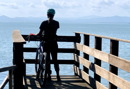
| Distance | 160 km |
| Dénivelé | 500 m (moyenne) |
| Difficulté | moyenne |
| Temps de trajet | 7 jours |
| Fonds | Asphalte et gravier |
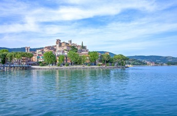
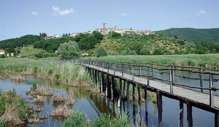
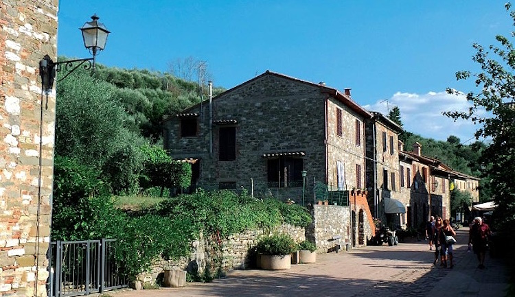
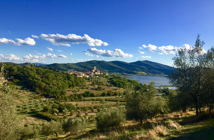
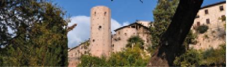
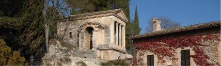
| À voir dans les environs | Passignano, San Savino, Panicale, Città della Pieve, Villastrada, Castiglione del Lago, Isola Maggiore, Tuoro sul Trasimeno |
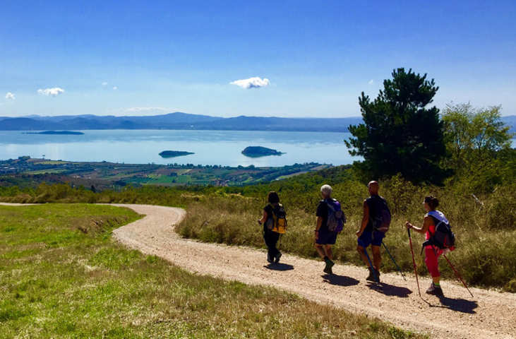
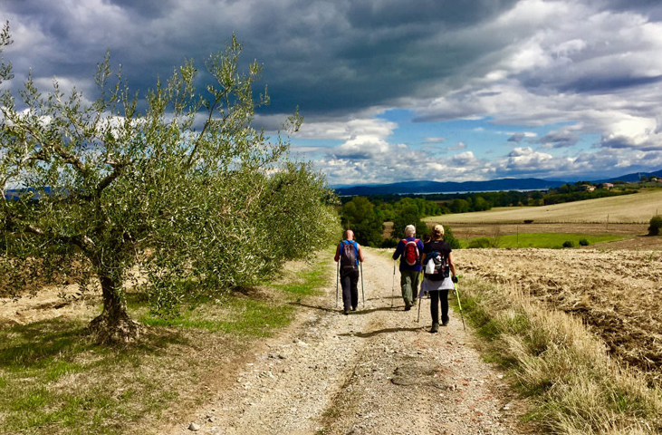
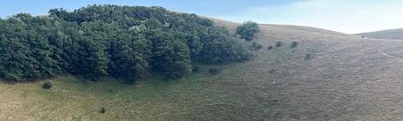
La Route du Trasimène est un itinéraire circulaire divisé en sept étapes d’environ 22 km chacune. Elle est adaptée à tous : en VTT, pour les amateurs de cyclisme ; à pied, pour les marcheurs plus expérimentés, pour les débutants et, pourquoi pas, même en compagnie de leur chien.
L’idée de l’ensemble du parcours est un projet de l’association « Camminare guarisce » (Marcher pour guérir) qui, en 2018, en impliquant les institutions locales et régionales, a créé l’itinéraire, en définissant le parcours en forme d’anneau autour du lac Trasimène, en utilisant les sentiers déjà balisés par la C.A.I. ou par d’autres associations.
La « Route » en tant que promotion de la culture de la marche, avec son symbolisme d’itinéraire lent, vert et durable.
Portez des vêtements techniques et, selon le temps, un chapeau ou une cape imperméable. Sac à dos sur les épaules et c’est parti !
Nous vous proposons ci-dessous un itinéraire qui part de Passignano mais qui, étant donné son caractère circulaire, n’a évidemment pas de point de départ et d’arrivée fixes.