


A moderately easy walking route through the Valnerina valley near Terni. A journey through history, nature and olive-growing traditions.
| Departure | Arrone |
| Arrival | Tripozzo |
| Estimated time | 1 hour 5 minutes | 45 minutes (depending on fitness level) |
| Accessible by: | On foot |
| Terrain | Hiking path, mixed terrain |
| Difficulty | Intermediate | Tourist |
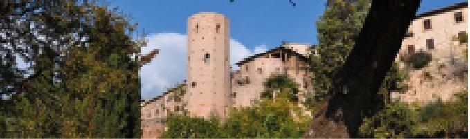
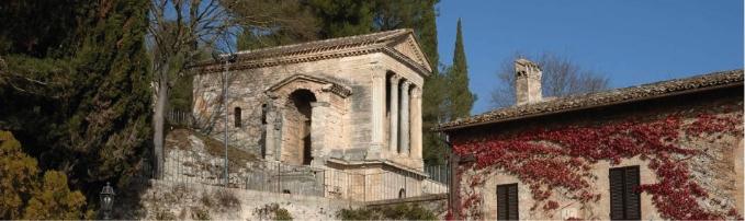
| Places of interest along the route: | Arrone, Santa Maria district, Church of Santa Maria Assunta, Mount Arrone, Valle locality, Mount Tripozzo, Fonte di San Lorenzo, ruins of roman mill, Tripozzo archaeological site |
A sunny day, mild temperatures and the desire to explore a hidden corner of Umbrian paradise: this short itinerary will take you through Arrone and the picturesque rural village of Tripozzo, along a scenic trail through the olive-covered hills in the stunning Valnerina. A landscape shaped by both ancient and modern witnesses of olive oil cultivation.
The complete GPX track is available, also accessible from KOMOOT.


