


.jpg/e9571273-0e35-1ff2-0713-76c7fd4e3cc5?width=456)

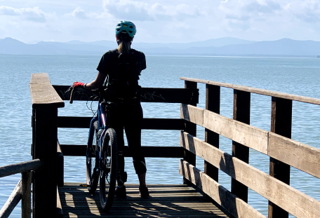
An easy cycling route connecting Città di Castello to Perugia, following the banks of the Tiber River.
04 Bike Lane of the Tiber - 04 Bike Lane of the Tiber
In bici Cycle routes
Cycle routes
Tiber Cycle Route
Technical details of the route
Difficulty
Easy | Medium
Difference in level
+80m | -150m +220 |-270m
Distance
44,5 km | 40,6 Km
Sections of the path

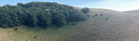
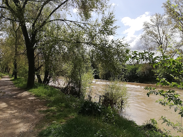
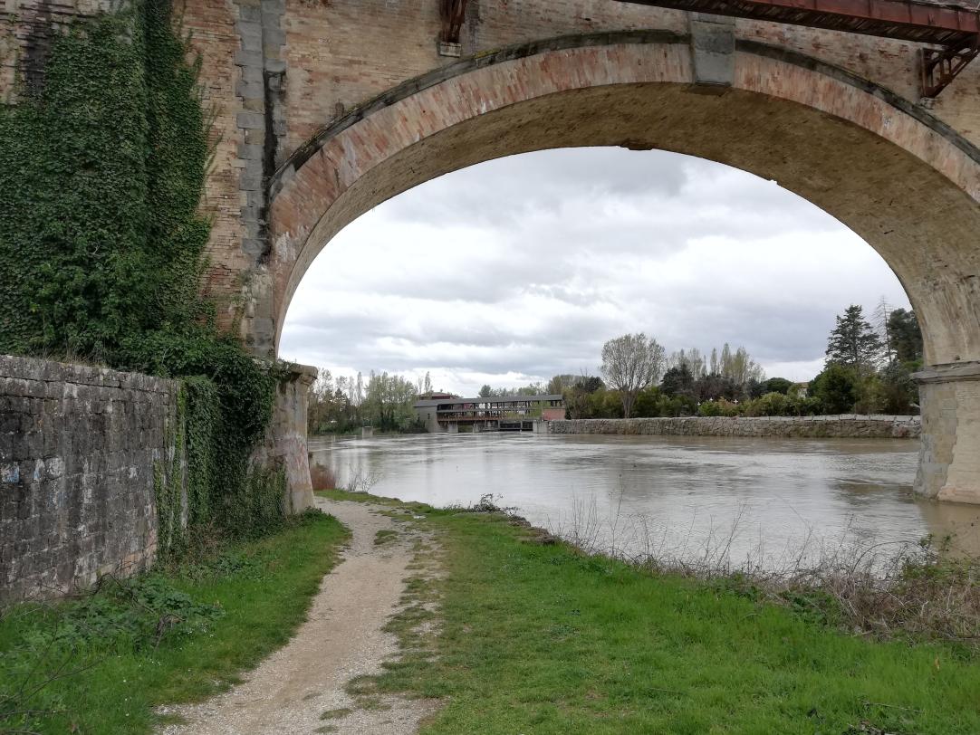
The route constantly follows the Tiber River, which in this stretch boasts extraordinarily clear waters in all seasons, surrounded by lush riparian vegetation of great ecological value.
Show all

This stage also mostly follows dedicated cycle paths, often on its own separate route, with a highly varied terrain. Unlike the previous stage, it includes some challenging ups and downs. Additionally, even in consistently dry conditions, some sections have rough terrain requiring a mountain bike or gravel bike unless riders are willing to proceed on foot.
Show all
Stage 1 - From San Giustino to Umbertide
Technical details of the section
Length
44.5 km
Difficulty
easy
Height difference graph
-
Positive height difference : +80m
-
Negative height difference : - 150 m
Difficulties along the route
Photos
Notes on technical features
Surface: Asphalt 13.2 km (29.7%); dirt road 31.3 km (70.3%)
Signage: Yes
Recommended bikes: hybrid, MTB, E-bike
Useful information
There are no designated picnic areas along this stage, so bringing a picnic lunch is recommended. Water sources are available at the Monastery of San Simeone, and in some months of the year, also at the Fonte di San Benedetto near San Benedetto in Fundis.
In summer, make sure to fill your water bottle with at least 1.5 litres of water.
VIEW ROUTE DETAILS ON KOMOOT
Description
The route constantly follows the Tiber River, which in this stretch boasts extraordinarily clear waters in all seasons, surrounded by lush riparian vegetation of great ecological value.
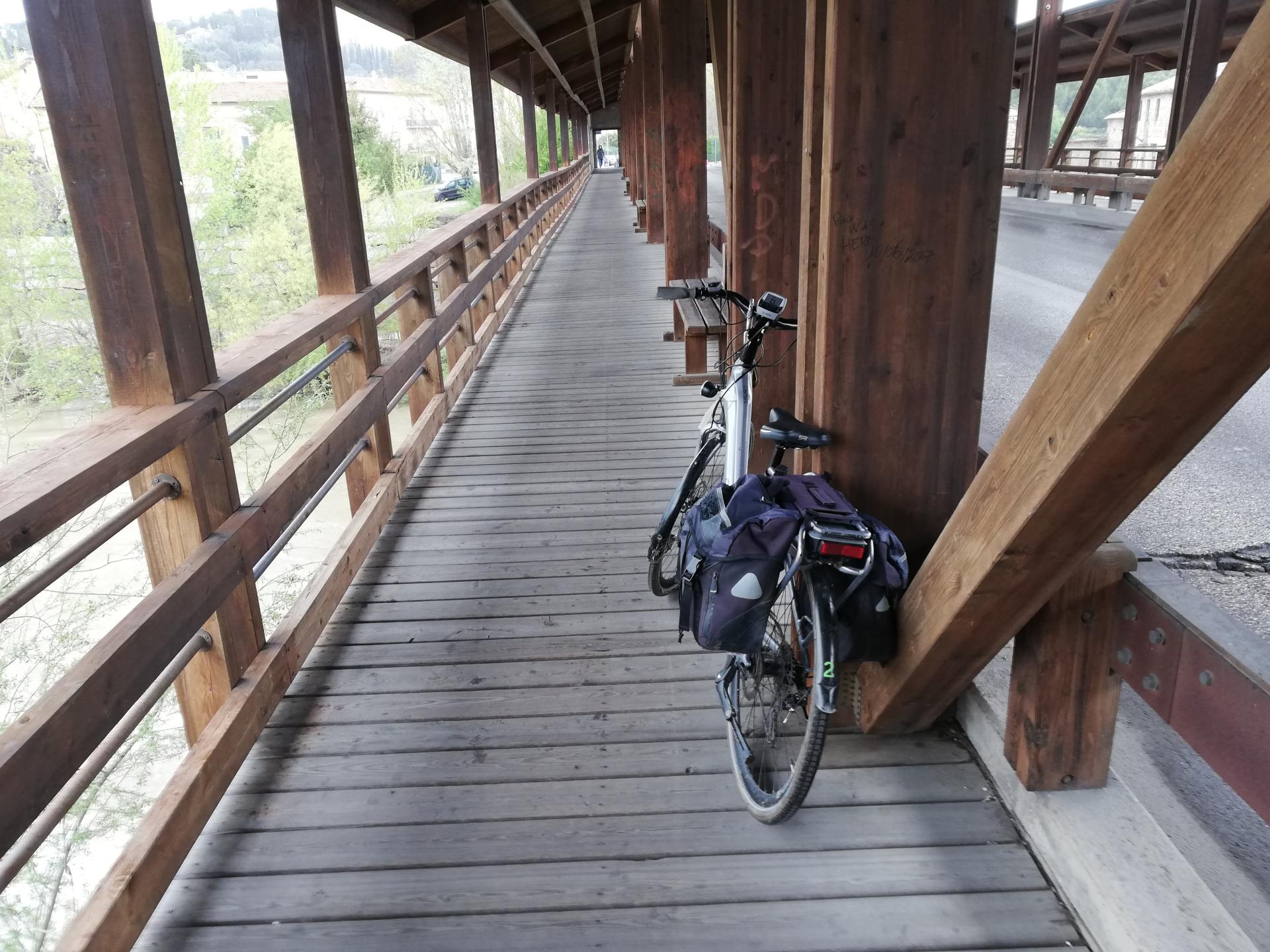
This stage mostly follows dedicated cycle paths, often on its own separate route. The terrain is highly varied, ranging from paved roads to light asphalt, gravel-packed dirt roads, and compacted or grassy surfaces. Due to this diversity, the dirt sections closest to the river are only safely rideable in wet conditions with a mountain bike or gravel bike. More robust touring bikes can handle this stage only if the ground is dry.
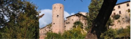
The route reaches the most important town in the Upper Tiber Valley, Città di Castello, before continuing south along the river, through predominantly rural landscapes of cultivated fields and forests.
A small detour with a short but steep climb allows you to visit Montone, one of the most beautiful villages in Italy, before arriving in Umbertide.
Show all
Show less
Stage 2 - From Umbertide to Ponte San Giovanni
Technical details of the section
Length
40.6 km
Degree of difficulty
medium
Height difference graph
- Positive height difference : +220m
- Negative height difference : -270m
Difficulties along the route
Photos
Notes on technical features
Surface: Asphalt 19.8 km (48.8%); dirt road 20.8 km (51.2%)
Signage: Yes
Recommended bikes: Hybrid, MTB
Useful information
VIEW ROUTE DETAILS ON KOMOOT
Description
This stage also mostly follows dedicated cycle paths, often on its own separate route, with a highly varied terrain. Unlike the previous stage, it includes some challenging ups and downs. Additionally, even in consistently dry conditions, some sections have rough terrain requiring a mountain bike or gravel bike unless riders are willing to proceed on foot.
Winding through ancient farmsteads, abbeys and small villages, the cycle route continues to follow the Tiber River until reaching the outskirts of Perugia, alternating between low-traffic roads and dedicated dirt paths.
If you up for a bit more of a challenge, upon reaching Ponte San Giovanni, you can ride up to Perugia’s historic centre, tackling a 5 km uphill climb with some traffic. Alternatively, you can opt for public transport, but either way, we highly recommend a visit to Perugia’s historic centre.
Notable landmarks include the Etruscan Arch, the San Pietro and San Francesco al Prato complexes, the National Gallery of Umbria, Palazzo dei Priori, and the Fontana Maggiore. The many historic palaces, the numerous venues where you can savour local specialities, and the lively cultural scene make for a fitting conclusion to this itinerary.
Show all
Show less
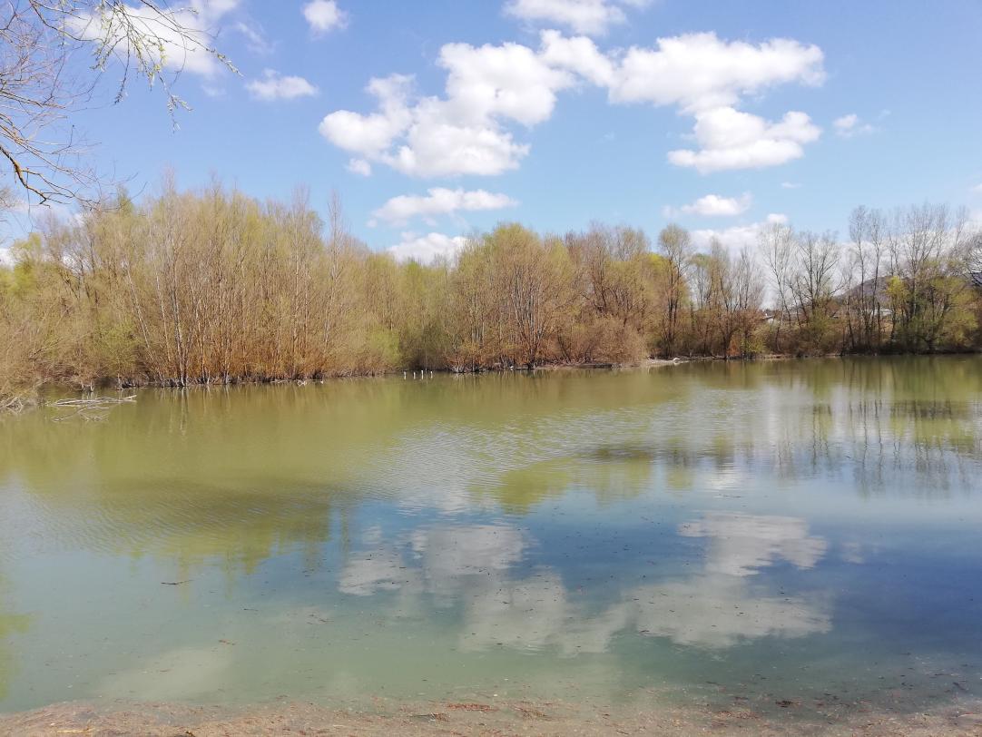
Tiber River
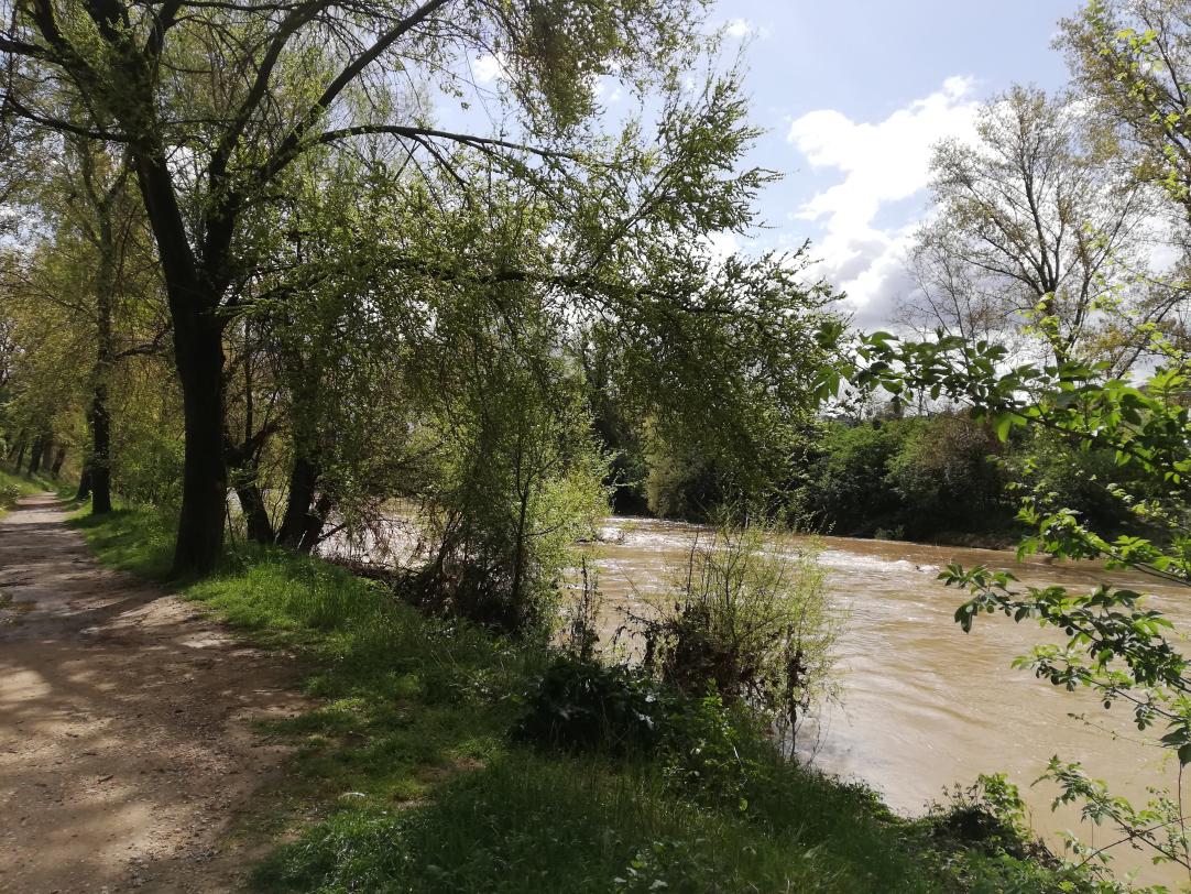
Tiber Cycle Route
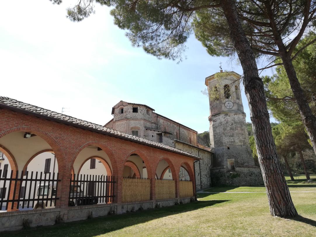
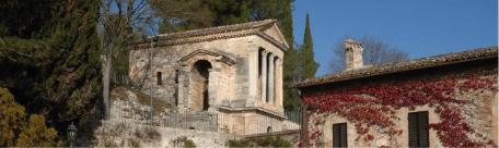
Abbey of Monte Corona
Tiber Cycle Route
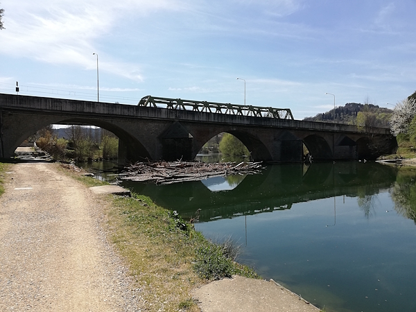
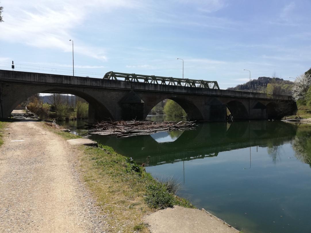
Railway Bridge